Файл:Austro-Hungarian Monarchy (1914).svg
Перейти к навигации
Перейти к поиску


Размер этого PNG-превью для исходного SVG-файла: 450 × 456 пкс. Другие разрешения: 237 × 240 пкс | 474 × 480 пкс | 592 × 600 пкс | 758 × 768 пкс | 1011 × 1024 пкс.
Исходный файл (SVG-файл, номинально 450 × 456 пкс, размер файла: 456 Кб)
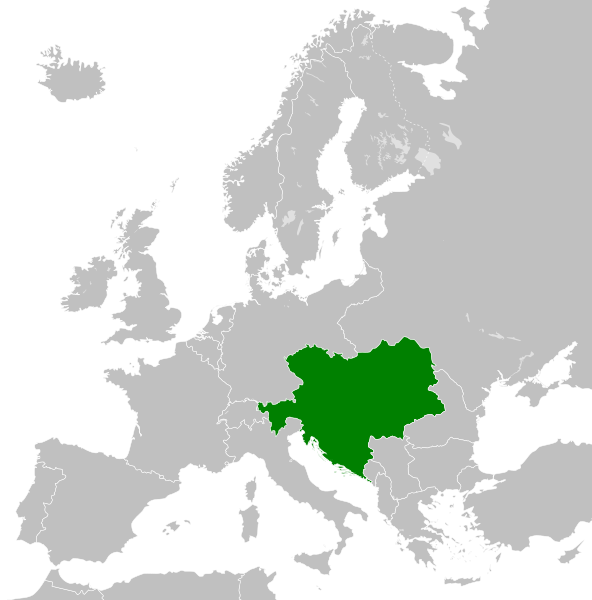
The map is false, Silesia the region in the southern Poland was never polish. The green map should also cover the Silesian land. Prove (do see the coat of arms, there you can see our coat of arms of all Silesians the black eagle with a silver gorget on his chest. Do not lie about our history!!!
Краткое описание


.svg)
.svg)
.svg)
.svg)
.svg)


.svg)
.svg)
.svg)


.png)
.png)


.svg)


.svg)

.svg)


.svg)
.svg)
.svg)
.svg)


.svg)
.png)


.svg)


.svg)
.svg)


.svg)


.svg)


.svg)
.svg)
.svg)
.svg)
.svg)
.svg)
.svg)
.svg)
_cropped.svg)
.svg)
.svg)
.svg)
.svg)
.svg)
.svg)
.svg)
.svg)
.svg)
.svg)
.svg)
.svg)
.svg)
.svg)
.svg)
.svg)
.svg)
.svg)
.svg)
.svg)
.svg)
.svg)
.svg)
.svg)
.svg)
.svg)
.svg)
.svg)
.svg)
.svg)
.svg)
.svg)
.svg)
.svg)
.svg)
.svg)
.svg)
.svg)
.svg)
.svg)
.svg)
.svg)
.svg)
.svg)
.svg)
История файла
Нажмите на дату/время, чтобы увидеть версию файла от того времени.
| Дата/время | Миниатюра | Размеры | Участник | Примечание | |
|---|---|---|---|---|---|
| текущий | 20:34, 25 июля 2013 | | 450 × 456 (456 Кб) | Alphathon | Removed Dutch polders (weren't completed until the mid 20th century) |
Использование файла
Следующая страница использует этот файл:
.svg)